Widgetized Section
Go to Admin » Appearance » Widgets » and move Gabfire Widget: Social into that MastheadOverlay zone


Vail, Beaver Creek back into the storm cycle over at least the next week or so
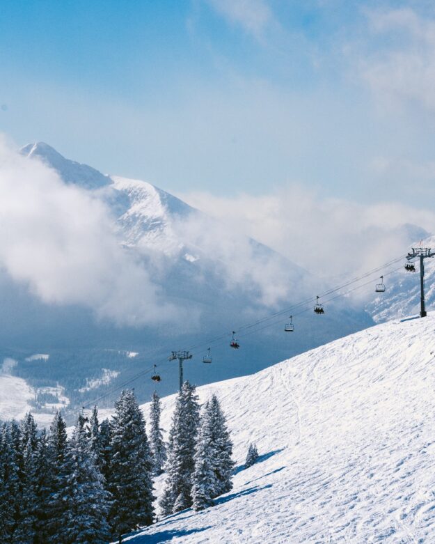
Vail Mountain Facebook photo.
With 14 inches of fresh snow at Vail and 10 inches new at Beaver Creek over the weekend, the snow riding is much softer, the holiday crowds have diminished, and the forecast is calling for several more storms over the next week.
2024 is shaping up to be a happy new year indeed after a slow start to the season in late 2023.
“We have flipped from a dry weather pattern to a stormy one and there is a lot to talk about,” meteorologist Joel Gratz of Opensnow.com wrote Monday morning. “Several mountains had deep, fluffy powder on Sunday, and there is more powder now on Monday.
“Coming up, we’ll have powder on Wednesday, Thursday, and likely also from Friday to Monday,” Gratz added. “The consistency of the upcoming snowfall should create soft-on-soft conditions for nearly all mountains.”
Vail is nearly entirely open for the season, and Beaver Creek is gradually getting there after a slow start to the snowfall season. Both mountains are way ahead of other parts of North America, where snowfall so far has been scant.
Here’s the National Weather Service forecast for Vail for the next three days: “The snow forecast for Vail is: A moderate fall of snow, heaviest on Tue night. Temperatures will be well below freezing (max 16°F on Tue afternoon, min -8°F on Mon night). Winds increasing (calm on Mon night, fresh winds from the W by Tue night).”
And the NWS for the next 4 to 6 days: “A moderate fall of snow, heaviest on Sat night. Temperatures will be well below freezing (max 18°F on Sat afternoon, min -6°F on Thu night). Wind will be generally light.”
So it’s going to be quite chilly over the next week. Dress warm and enjoy what should be nice, light, fluffy Colorado powder.
